
Palm Beach Gardens Neighbor Sources
Public records describe a Palm Beach Gardens block in layers. The parcel map defines adjacency. The property roll identifies each titled owner and mailing address. A plat shows formal lots, blocks, roads, and easements. City maps add permits, business licenses, schools, and zoning. The voter file can identify nonexempt registrants at public residential addresses, while an association's public filings identify officers and contact channels rather than every member.
| Block source | Local fact it can show | How to reach it |
|---|---|---|
| PAPA map and roll | Adjacent PCNs, parcel shapes, owner, situs and mailing fields | Free, one parcel at a time |
| Palm Beach Gardens public map | Permits, business licenses, schools and zoning | Free map with city support |
| Voter database request | Nonexempt registrants filtered by lawful geography | Request, possible copy and labor fees |
| Recorded plat | Formal subdivision, lots, roads and easements | Clerk image or records counter |
| Neighborhood GIS and Sunbiz | Community boundary, gated flag, plat facts and public officers | Free official services |
These records prove different things. A tax-roll owner is not automatically an occupant. The mailing address can point to a trust, company, estate, seasonal address, or management office. A homestead flag supports a claimed primary-residence exemption for a tax year, but it does not name every person in the home. Keep each field attached to its source and inspection date.
Map Palm Beach Gardens Neighbors
The Palm Beach County Property Appraiser PAPA map supplies the most defensible first pass. Find the subject parcel by street address or 17-digit parcel control number, called a PCN. Select it, note the highlighted boundary, then pan and zoom until every touching lot is visible. This method works on irregular lots, curves, cul-de-sacs, and gated communities where house-number order may be misleading.
- Record the subject PCN, situs address, municipality, subdivision, legal description, and plat reference.
- Click each parcel on the left, right, rear, and across the street. Open its property record and copy the adjacent PCN.
- For each parcel, keep the public owner, mailing address, homestead year or flag, and source-inspection date.
- Verify parcel relations on the map, then add only voter, permit, deed, or association evidence from the same useful date range.
The practical flow is: address to parcel boundary, boundary to adjacent PCNs, PCNs to public owners, then owners to date-matched records. For every parcel along a whole named road, use the Palm Beach Gardens street directory instead of expanding a block sheet beyond its purpose.
Palm Beach Gardens Address Shapes
The city's Geographical Information Systems service adds a second address inventory method. In Civic Access, a registered user opens Map, searches by address or parcel number, and chooses a geometry tool. Point returns the addresses tied to one clicked parcel. Line returns addresses on every parcel the line crosses. Polygon, Rectangle, and Circle return addresses enclosed by the drawn shape.
After choosing addresses, Apply can seed an application. The geometry result does not establish ownership. Move every returned address to PAPA and preserve its PCN. City GIS can then add permits, business licenses, schools, and zoning. The city warns that dynamic spatial data are provided as-is and may not be complete or timely, so verify an important fact with the office that owns the permit, license, or zoning record.
This shape-based method is especially useful around Palm Beach Gardens' master-planned communities. A circle can gather nearby addresses, while a hand-drawn polygon can follow a pod or short block. The PAPA parcel boundary remains the better way to define which lots truly touch.
Palm Beach Gardens Community Records
The city's official Neighborhoods GIS layer is a community inventory, not a resident roster. Its fields include neighborhood name, acres, type, gated status, parent subdivision, plat units, and often plat image or book-and-page references. That structure matters in Palm Beach Gardens because one familiar master-planned name can split into many legal communities and plat units.
| Community grouping | Named examples in city GIS | Best public use |
|---|---|---|
| BallenIsles | Coral Cay, Crystal Bay, St. George, Grand Isle | Translate a pod name to its subdivision and plat |
| PGA National | Ryder Cup Villas | Confirm the mapped community before parcel work |
| Other communities | Frenchman's Reserve, Mirasol, Alton, Paloma, Catalina Lakes, Oaks East | Find the official boundary and recorded name |
| Avenir | L'Ambiance, Esprit, Essex, Longview, Lake Ridge, Orchid Isles, Stone Gate, Lumiere, Le Rivage | Separate newer community names into mapped units |
Query the community, follow its plat reference, and then inspect PAPA parcel by parcel. Public association officers can be checked through Sunbiz corporation records. Principal addresses, registered agents, officers, and annual-report filings identify the association's public business contacts. They do not turn the association's private membership list into a public directory.
Palm Beach Gardens Voter Geography
The Supervisor of Elections distinguishes an identity-gated voter-status lookup from a public database request. For lawful block work, use the Palm Beach County voter public-records process. Its form permits geographic criteria such as districts and precincts, along with status, party, age range, and participation history. Ask whether the office can provide the narrow street or block geography needed. Do not use the self-service status screen as a way to build a block list.
Public voter data can include name, residential address, date of birth, party, phone, email, and voting history, subject to exemptions. Voting history shows elections participated in, never ballot choices. Social Security numbers, driver or state identification numbers, application source, and signature copies are not released. Protected voters and preregistered younger voters are also removed or shielded under Florida law.
Requests can go online, by mail, telephone, email, fax, or in person at 4301 Cherry Road in West Palm Beach. One-sided pages cost 15 cents, two-sided pages 20 cents, and a USB costs $6. Generated reports are listed at $20, while work over 15 minutes can add prepaid labor or technology charges.
The public fields and request channels appear on the official Supervisor of Elections page.
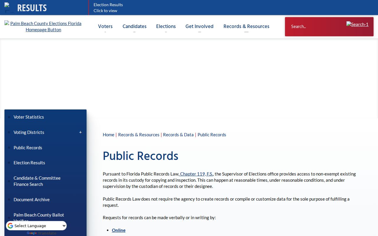
The official page also explains why exempt addresses and sensitive identifiers never belong on a neighborhood sheet.
For research that truly requires statewide rather than block-level context, the Florida Division of Elections voter-extract page explains its separate scheduled request process.
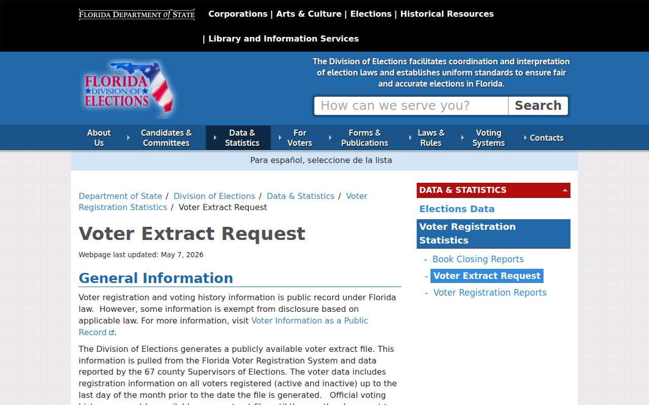
The state distributes scheduled extracts on physical media rather than by email or online delivery, reinforcing why a narrowly tailored county request is usually the more proportionate route for local civic research.
Confirm Palm Beach Gardens Owners
PAPA provides the current assessment view, but an owner field should be checked against the parcel's recorded acquisition deed when identity matters. Follow the displayed sale book and page or owner name into the Palm Beach County Clerk Official Records. A deed names grantor and grantee, gives a recording date, and carries the legal description. It proves a recorded transfer, not who sleeps at the property today.
Plats are more useful than a loose street address for understanding a formal block. Palm Beach County plat and right-of-way records reach into the late 1800s, while most online Official Record images reach 1968. If the image is missing, call the Clerk at 561-355-2932, mail an exact request to P.O. Box 4526, West Palm Beach, Florida 33402-4526, or visit the Main Courthouse Records Service Center in room 4.2500.
City permits and code cases add dated activity. They may name an owner, applicant, contractor, or contact, but not the full household. Building records use the city's request route. Code Compliance offers paid research with a normal ten-business-day option and a two-business-day expedited option that is not guaranteed. Those are record services, not shortcuts to a private roster.
Palm Beach Gardens Neighbor Evidence
Official rolls and commercial neighbor tools should not be treated as equal. Government sources have a named custodian, a defined field, and a date or tax year. Commercial compilations may merge people with the same name, retain stale addresses, or hide their source date. They can suggest a lead, but they do not replace the parcel, deed, voter, permit, or corporate record.
| Source type | Useful strength | Key limit |
|---|---|---|
| Official parcel and deed records | Traceable PCN, legal description, owner or recorded party | Ownership is not occupancy |
| Official voter or permit records | Dated public registration or project association | Exemptions, lag and limited coverage |
| Association public filings | Verified entity and officer contacts | No private member roster |
| Commercial compilations | Possible starting lead | Source dates and merged identities may be unclear |
Record the source inspection date beside each entry. That small step prevents an old mailing address, expired annual report, or past voter status from being presented as a current fact about Palm Beach Gardens neighbors.
What Palm Beach Gardens Blocks Omit
A complete parcel sheet still leaves major gaps. Parcel geometry shows adjacency, not social ties or physical presence. Trusts, companies, and estates can hold title. Homestead reflects an exemption claim for a tax year. Voter files omit nonregistrants and protected residents, and status changes can lag. Permit files identify people tied to work, not every person at the address.
Utility customers, gate records, vehicle data, delivery data, congregation lists, and association membership rolls do not become public merely because the neighborhood itself has a public name. Florida's motor-vehicle information is also restricted by federal and state privacy law. Physical canvassing is not needed to conduct a parcel-based civic or family-history search, especially in gated communities.
For a reproducible block sheet, retain the target PCN; each adjacent PCN; the relation such as left, right, rear, or across; the situs; public owner and mailing fields; homestead year or flag; subdivision and plat; and inspection date. Add a voter, permit, or deed fact only when it matches the same parcel and useful date range.
Palm Beach Gardens Neighbor Privacy
Florida's Address Confidentiality Program gives qualifying victims of domestic violence and stalking a substitute address and helps suppress eligible government records. Florida Statutes sections 741.401 through 741.465 govern the program. Section 119.071 and occupation-specific provisions protect other home addresses. A blank or confidential map field is not an invitation to search for a hidden address elsewhere.
Neighbor records are best used to understand parcel boundaries, confirm a public owner, contact an association through its filed officers, reconnect through lawful channels, or improve civic awareness. If a record appears wrong, contact the custodian that created it. The Property Appraiser handles assessment fields, the Clerk handles recorded documents, the Supervisor handles voter data, and the city handles its maps and permits.
Lawful use. Use Palm Beach Gardens neighbors records with care and respect. Never use public information to watch, stalk, harass, threaten, or intimidate anyone.